LISTEN TO THE PLACE
A story worth knowing
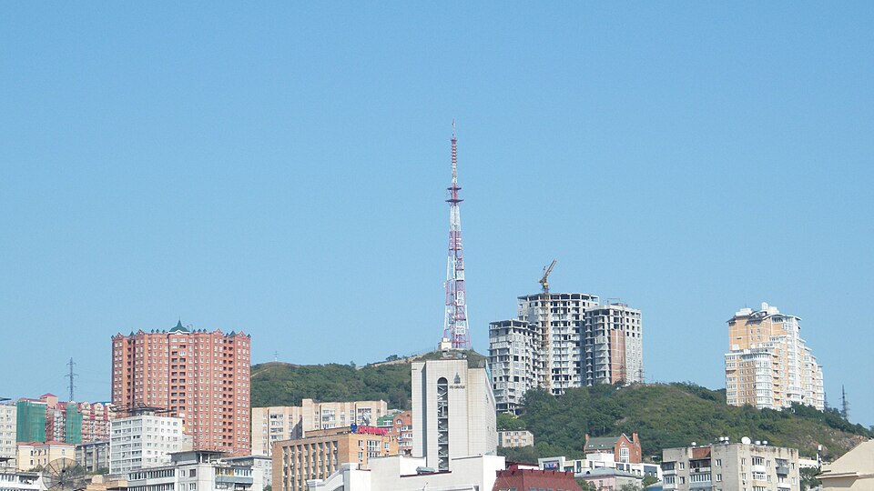
In Vladivostok, a distance on the map rarely tells the whole story. A few blocks may include a climb, a staircase and a completely different view. Eagle's Nest Hill helps explain this geography: the historic centre unfolds across slopes rather than a flat surface.
The hill reaches 199 metres above sea level. Its highest point and a viewpoint accessible to visitors are not necessarily the same place. Follow permitted approaches instead of trying to reach the maximum elevation in a straight line.
The hill was formerly named after Klykov. Its later name, Eagle's Nest, recalls the fighting at the Shipka Pass during the Russo-Turkish War of 1877–1878. A landscape on the Pacific coast thus acquired a name connected with events thousands of kilometres away.
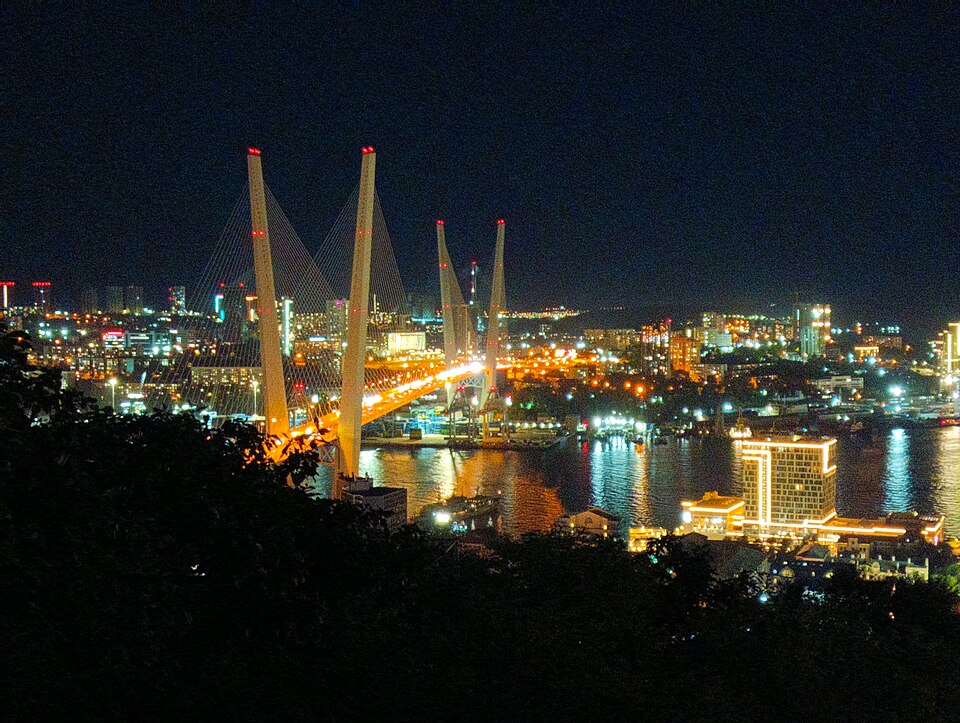
Viewpoints in this part of the city reveal how the bays organise urban space. The shoreline, bridges, port infrastructure and buildings on the slopes become parts of one system. The sea is not simply beside Vladivostok: it determines the city's directions and connections.
Choose a landmark below and try to trace a possible walking route towards it. The difference between a straight line of sight and an actual road becomes obvious. It is a useful exercise before continuing, particularly if you are still getting used to the climbs.
Poor visibility does not make the stop pointless. Even without a distant panorama, the terrain explains something essential about Vladivostok. The city repeatedly changes scale, opening into a vast bay and then contracting to the next turn of a staircase between houses.
Learn more
The Russian word sopka means a hill or an individual mountain and is especially common in the Far East. Here it is part of everyday navigation as well as geography. A hill's name can tell a resident more than a distance in metres. When planning a walk, take elevation into account: a short climb may require more time than a much longer level section.