LISTEN TO THE PLACE
A story worth knowing
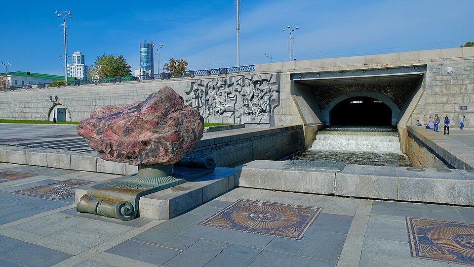
Yekaterinburg began here with a practical question: how could water be made to work? Today, Plotinka is a place for meetings, walks and photographs. In the eighteenth century, this stretch of the Iset River had a different purpose. A dam created stored water and a difference in level to power factory machinery. The city grew around a source of energy that remains visible.
The Yekaterinburg Works began operating in 1723. Its foundation is associated with Vasily Tatishchev and Wilhelm de Gennin. Having a river nearby was not enough: industry needed a controlled flow. The dam formed a pond, and channels directed the water towards mechanisms. Waterwheels converted moving water into mechanical power. What now looks like a peaceful urban pond belonged to a production system.
Divide the view into the water held above the dam and the channel below it. Their relationship explains this place better than the idea of an ornamental lake. Before steam and electricity became widespread, access to water power influenced where factories could operate. Workshops, roads and workers' housing gathered around that requirement, helping to shape the emerging town.
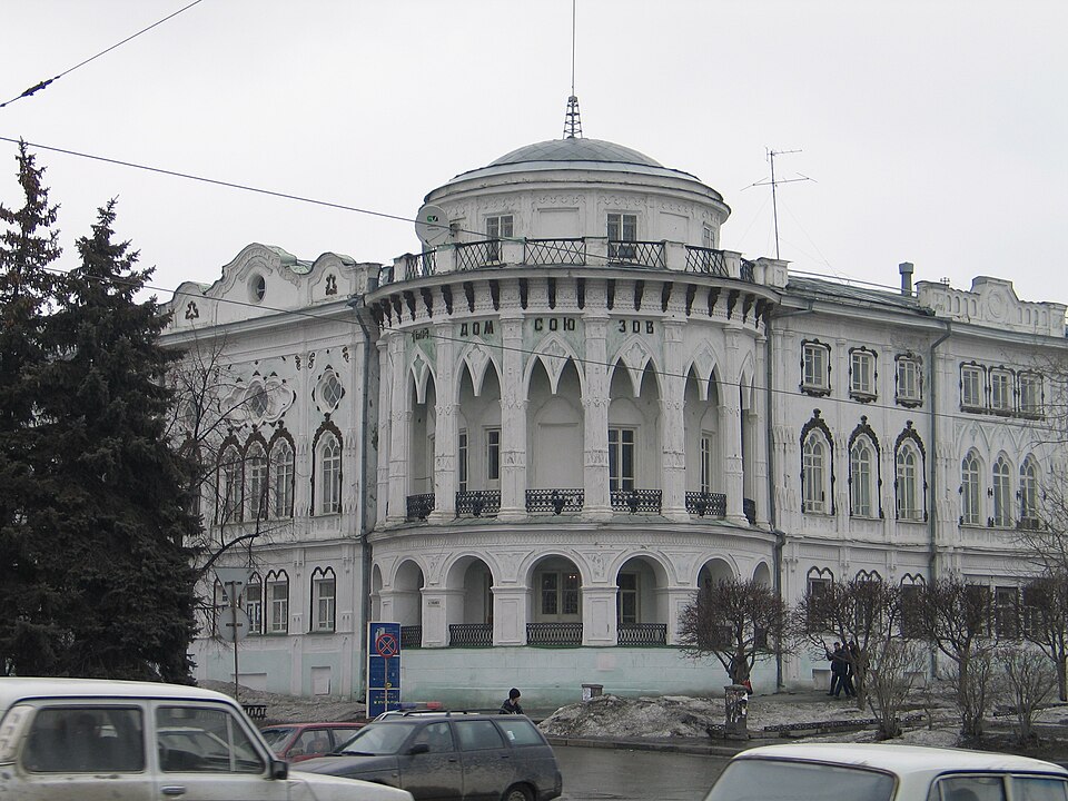
The present appearance is much later than those first industrial operations. The dam was repeatedly altered, widened and strengthened. A major transformation came in the early 1970s, when Historical Square was created for the city's two-hundred-and-fiftieth anniversary. An industrial area became a place in which to walk and explore the city's origins. Some older buildings survived and found new roles as museums.
That transformation involved choices. A redundant workshop could look like an obstacle to one person and essential evidence of the city's beginnings to another. Arguments over preservation formed part of the site's later history. The landscaped space consequently tells two stories: how an industrial town was built, and how a modern city decided to remember that beginning.
Instead of searching for one principal facade, follow the connections. Where does the water arrive? Where does it pass beneath the road? How do the surviving buildings relate to the channel? The familiar meeting place begins to reveal the outline of a machine. Pond, dam and factory grounds made sense together.
Even the affectionate name Plotinka suggests a changed relationship. A substantial engineering structure has become an intimate part of city life. As you continue beside the Iset, remember that Yekaterinburg gathered here around work and water power. Its industrial beginnings are embedded in the arrangement of the place beneath your feet.
Learn more
The name Historical Square sounds inevitable, but it records a twentieth-century decision. Former factory land could have disappeared beneath entirely new development. Instead, part of the area became a memorial to the city's industrial beginnings. The square opened in 1973, when Yekaterinburg was still called Sverdlovsk.
Surviving buildings acquired museum uses. In 1975, a museum concerned with the architectural history of the Urals opened here; its development continues in today's Museum of Architecture and Design. Preserving the industrial setting therefore became another chapter in local history.
Think of a museum building as an exhibit larger than anything in its display cases. Its position near the dam explains why this subject belongs here. Even from outside, the relationship between river and former factory grounds remains legible. A collection can be moved to another address, but that geographical connection is much harder to relocate.